
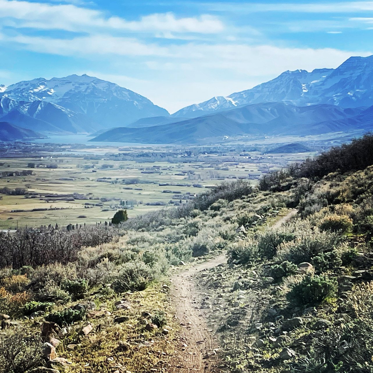
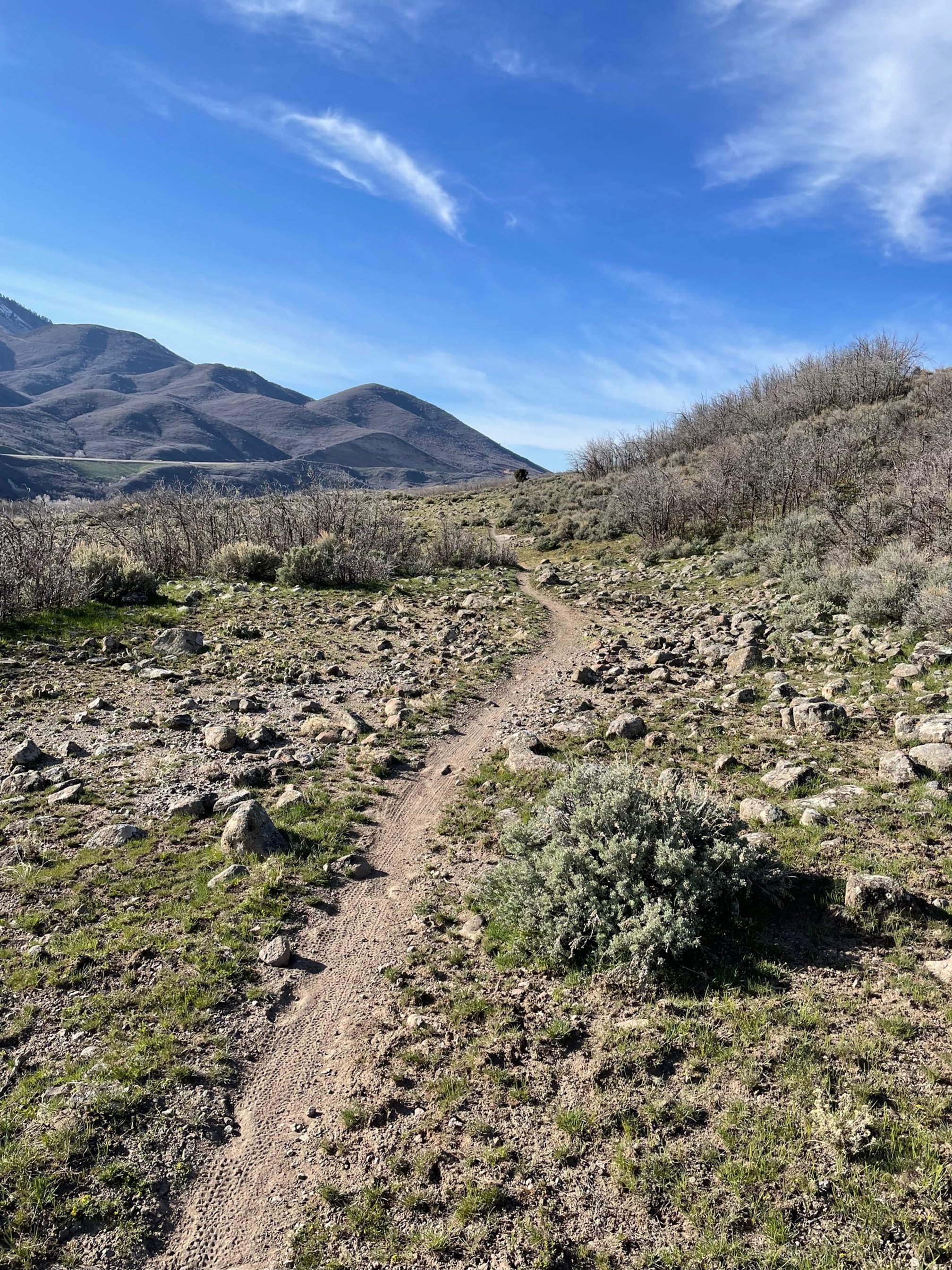
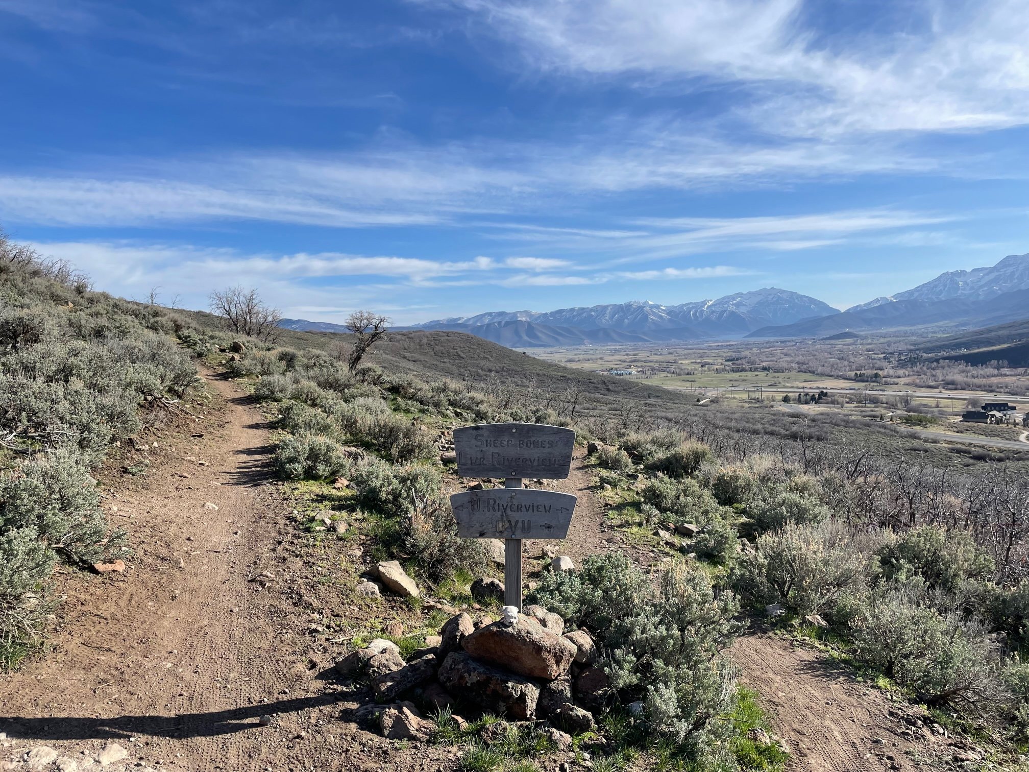
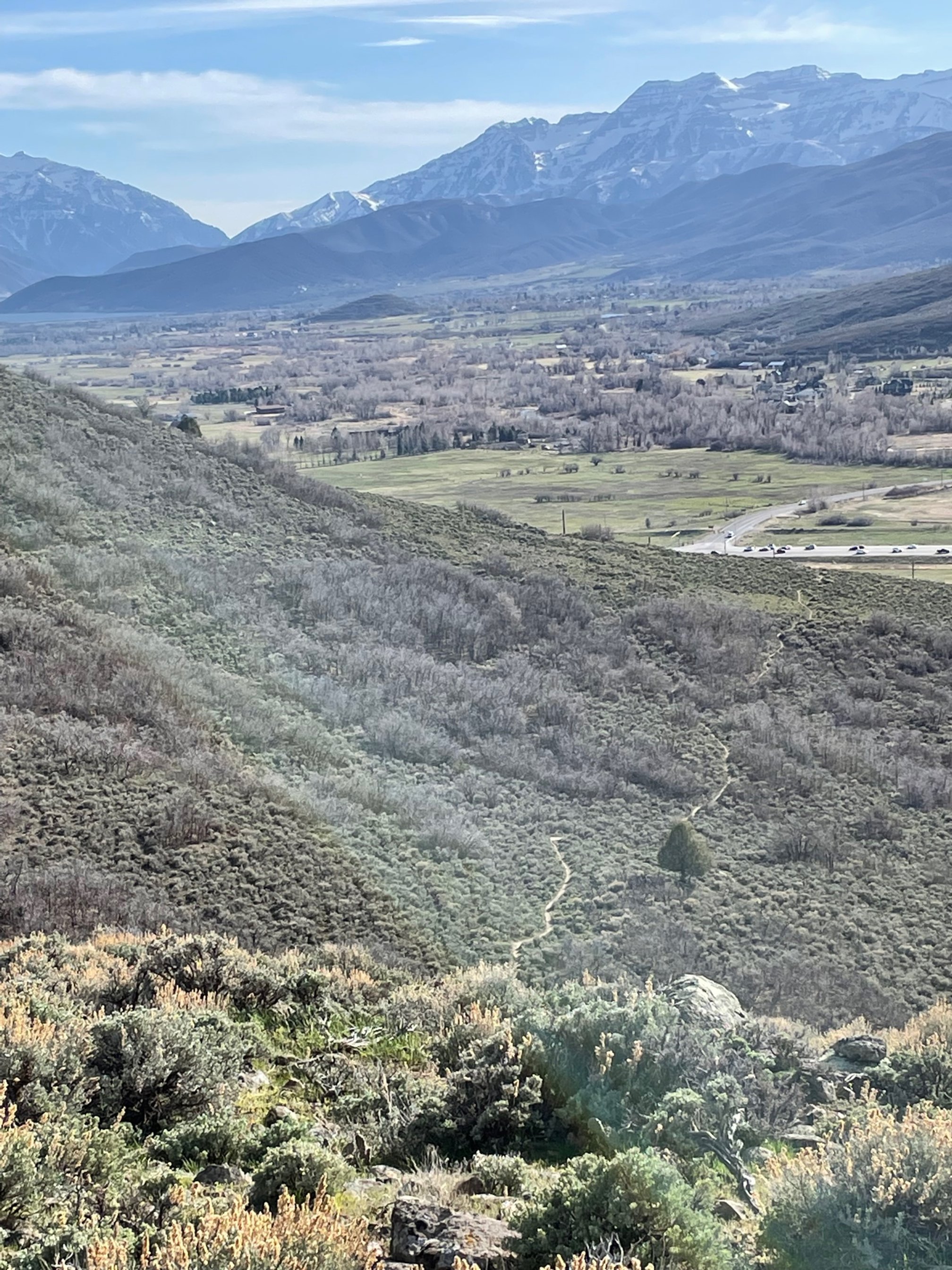
Enjoy the Sweet Single Track and Switzerland like views of the Jordanelle Ridge Trail System aka Coyote Trails!
Shoe Demo by NNormal
Yoga in the “Park” ing lot: 7:45 & 8:15 PM led by Annie Henderson Bring your mat and a towel to place under your mat.
On-site Registration opens at 5 PM
Racing Starts at 6:30 PM
Driving Directions (click here)Parking availability has significantly improved but please carpool.
Travel Time to Race: Allow for extra travel time. Sometimes there is traffic as you come into the Heber Valley on hwy 40.
Water: there is no water on the course. Bring a full hydration pack/bottle. Water at Start/Finish only.
Heber may 20th
Complimentary Race Photos typically start uploading by Friday and thru the weekend


Race Course
Short Course: about 5 miles, 700 ft elevation gain. Click on “WTRS#4..” in the map below for more detailed information on the route.
Long Course: about 9 miles, 1000 ft elevation gain. Click on “WTRS#4.” in the map below for more detailed information on the route.
Directions
Directions
Parking for the race will be in the Heber Utah Valley University. Click here for driving directions